 |
| Gunung Datuk 2500ft above sea level |
Gunung Datuk is located at Rembau, Negeri Sembilan, Malaysia. It takes approximately 2 hours driving from Klang but only 1.5 hour KL Town. The highest point of this mountain is around 2900 ft (885m). It took us 2 hours to reach the summit and it took me another 2 hours to back to entrance due to I am not good in condition that day, maybe I got too hungry? Bringing food like biscuit/ bread/ even nasi lemak will be a must for my visit.
History
A long time ago, before Tanah Melayu became Malaysia, Negeri Sembilan was ruled by the Minangkabau, a people originally from West Sumatra (Indonesia). There's a systen called Adat Perpatih that was introduced by a leader named Datuk Perpatih Nan Sebatang. Local people believe that long ago, this mountain used to be a place where people gathered and select their leader.
There are also a footprints at the summit which represent the legendary warrior called Hang Tuah. Myths say that he used to move from one place to another by jumping mountain to mountain.
Getting There (90 minutes from KL Town)
From highway, exit the North-South Expressway at E223. At the T-junction after the toll, turn left. You will reach a round about where you should turn right (3rd exit) towards Rembau. From Rembau town, you will see signposts directing you to Hutan Lipur Gunung Datuk which will take you along route N111. After 15km, turn left into Gunung Datuk and you will arrive at the base camp after a short drive through rubber state.
From highway, exit the North-South Expressway at E223. At the T-junction after the toll, turn left. You will reach a round about where you should turn right (3rd exit) towards Rembau. From Rembau town, you will see signposts directing you to Hutan Lipur Gunung Datuk which will take you along route N111. After 15km, turn left into Gunung Datuk and you will arrive at the base camp after a short drive through rubber state.
 |
| 2.534911N, 102.163506E |
Hiking Up
To climb this moutain, you need to pay the permit for RM5.00/person, it will located at the entrance when you see the sign of Puncak 2010M.
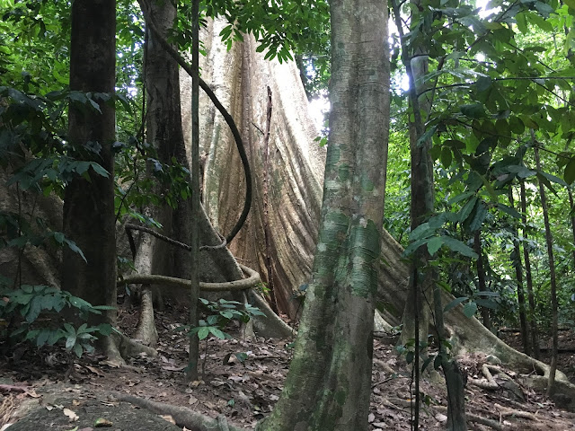
At the beginning of trail, keep to the right when you reach a T-junction. The trails starts to climb immediately for the first hour, you will required to cross over all the twisted tree roots and rocks.
Along the way, you can find the arrow pointing the distance remaining to reach the peak, and this is 50M to arrive.
After a while, the path become slightly less steep and more easy to walk. When you reach a big stone wall as below, it will took another 15 minutes to reach an open area below the summit which normally us as a campsite.
From here, you will need to use the steel ladder to climb up the massive boulders which so called as the peak of the mountain. The ladder is a bit loose, just continue climbing up then you can enjoy the magnificent views from top. You can feel the strong wind when climbing up from the steel ladder which make me feel very unsafe.
Coming down will be the same route but it is a hard mission for the leg muscles and knees. I recommend to use a hiking stick and wear the knee protector which I believe it can prevent the knee pain for getting down.
To climb this moutain, you need to pay the permit for RM5.00/person, it will located at the entrance when you see the sign of Puncak 2010M.
 |
| This is not the height, is the total distance to the peak |

At the beginning of trail, keep to the right when you reach a T-junction. The trails starts to climb immediately for the first hour, you will required to cross over all the twisted tree roots and rocks.
Along the way, you can find the arrow pointing the distance remaining to reach the peak, and this is 50M to arrive.
 |
| the last 50m to reach the peak |
 |
| Giant Rock |
 |
| The steel ladder |
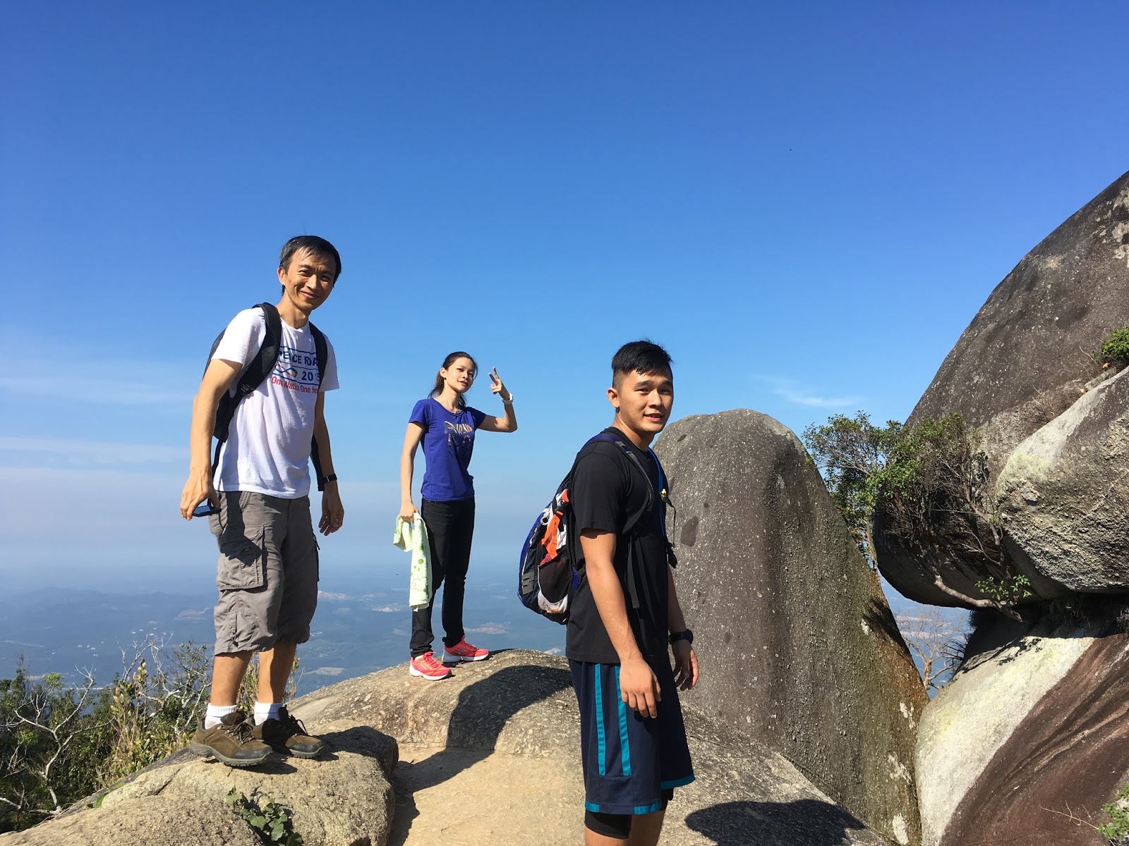 |
| While waiting the queue for steel ladder |
Coming down will be the same route but it is a hard mission for the leg muscles and knees. I recommend to use a hiking stick and wear the knee protector which I believe it can prevent the knee pain for getting down.
 |
| I got no idea, but it is extremely hot to open the eyes and face camera |
Water 1.5L (minimum)
Isotonic Drinks
Chocolate and energy bar
Proper hiking shoes
Hiking stick (recommended but optional)
Extra pair of shirts and pants for changing after hike
Starting Coordinates: 2.534911N, 102.163506E
Difficulty: Moderate (first hour will be very steep)
Average Completion Time: 4 hours (2 hours uphill and 1.5 hours downhill)
 |
| The End |
If you have any questions, please feel free to drop them at the comment section below. Thank you! :)
Others:
No comments:
Post a Comment